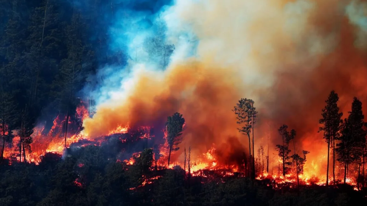
California’s conifer forests are disappearing to wildfire at a pace that places the state alongside the world’s worst-affected countries — and the curve is steepening. In research published 10 April 2026 in Frontiers in Forests and Global Change, forest ecologist Hugh D. Safford of the University of California, Davis, and colleagues report that fire-driven deforestation across the state’s pine and fir woodlands has followed an exponential trajectory since the early 1990s, with losses concentrated on U.S. Forest Service and private timber holdings rather than in parks or wilderness alone.
Between 1991 and 2023, the team estimates California shed 6% to 11% of its conifer forest cover. After 2001, mean annual loss rates reached 0.25% to 0.47% in the forest types studied — well above the roughly 0.15% per year global benchmark for fire-driven deforestation. By the end of the record, need for postfire restoration approached 150,000 hectares (370,000 acres) per year under a moderate-priority threshold and roughly 86,000 hectares (212,000 acres) under a stricter high-priority definition.
The ranking puts California in uncomfortable company with nations routinely scarred by megafires, including Russia, Portugal, Greece, Bolivia and Canada. Safford warned that two more seasons on the scale of 2020 or 2021 could push large parts of the state’s conifer belt past a tipping point — especially in watershed zones and high-elevation stands that store carbon and regulate snowmelt.
Counting forest loss, not just fire perimeter
Earlier assessments often treated high-severity burn scars as the main signal of damage. The UC Davis team took a narrower view of deforestation: canopy loss combined with poor odds that conifers will naturally regenerate within five years. They applied POSCRPT (Postfire Spatial Conifer Regeneration Prediction Tool), built with UC Berkeley and Forest Service partners, across 71,764 km² (27,700 sq miles) of mapped conifer land, layering satellite-derived severity with field-based seedling survival models.
Mixed-conifer forests in the Sierra Nevada bore the largest absolute losses; Douglas-fir and hardwood mixes in the north ranked second. Yet the steepest acceleration appeared at higher elevations — zones that historically burned less often and now supply drinking water to millions of downstream residents.
Each fire is doing more damage per hectare

Area burned tells only part of the story. Independent work by scientists at UC Irvine and the University of Utah, published in Environmental Research Letters, shows that as California warmed and dried between the 1980s and 2010s, the severity of the average wildfire rose by about 30%. For every hectare touched by flame, more canopy dies today than it did a generation ago.
Led by Jon Wang, now at the University of Utah, researchers used four decades of Landsat imagery to separate three drivers of tree-cover decline: fires spreading across more land, fires burning hotter within that land, and flames pushing into denser forests that once escaped the worst damage. Severity gains and exposure to new forest types together explained roughly twice as much loss as acreage expansion alone. Statewide tree cover has fallen about 7% since 1985 when drought die-off is included — and survivors face repeat burns before they can re-establish.
Drier fuels, longer nights, stronger winds
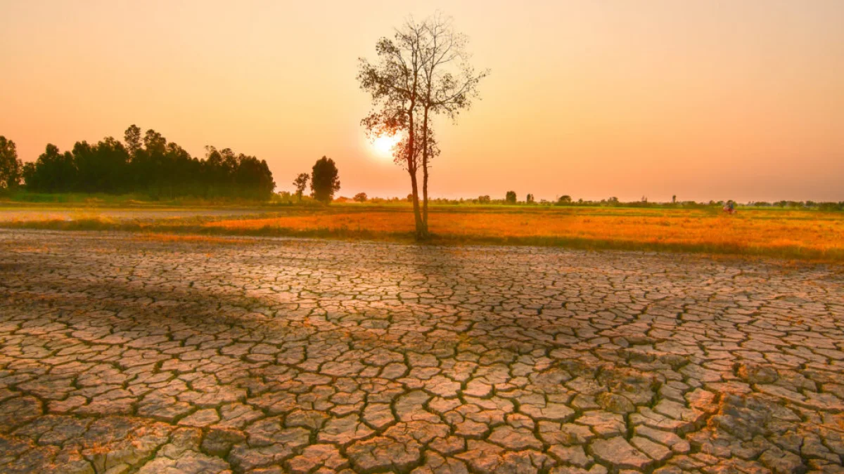
Climate shifts underpin both trends. Longer dry seasons, deeper droughts and thinner snowpack leave fuels ready to carry fire earlier in the year and later into autumn. Satellite-era records indicate that California’s average annual burned extent in 2020–2023 ran roughly three times above the prior decade — a surge that tracks with the post-2020 spike in reforestation need documented in the UC Davis paper.
The 2012–2016 drought offers a recent benchmark: U.S. Geological Survey analyses linked that episode to higher temperatures, below-normal rain and unusually dry air, all of which amplified stress-related tree mortality ahead of major fire years. Offshore and gap winds — Santa Ana flows in the south, Diablo winds in the north — can loft embers kilometres ahead of a main front, while warmer overnight lows mean fewer natural slowdowns for crews on the line.
Communities from Los Angeles to the Sierra foothills near Fresno already factor red-flag wind forecasts into evacuation planning; smoke from mountain fires routinely reaches the Central Valley around Sacramento and the Bay Area around San Francisco on stable-wind days.
Public lands lag while industry replants
Restoration has not kept step. On Forest Service land, postfire planting began falling behind need after about 2006. Across the full study window, barely 8% of high-priority sites and under 3% of acute-priority sites were replanted; from 2016 to 2023, fewer than 1.2% of deforested federal hectares received seedlings. Private industrial timber owners, by contrast, replanted more than 90% of severely burned ground on their holdings.
The backlog is largest in Sierra mixed conifer and northern Douglas-fir country — including tracts scorched during the 2020 and 2021 fire sieges in the Inner Coast Ranges, the northern Sierra–southern Cascades transition zone and the southwestern Sierra. Federal nursery capacity and reforestation budgets have trended down for decades even as Canada expanded investment in response to similar boreal and western losses.
Without a major pipeline of planting, thinning and prescribed fire, Safford and co-authors argue, some stands will convert outright to shrub fields or oak savanna — ecosystems that tolerate heat but surrender the carbon storage, timber value and snowpack buffering that conifer forests provide. “California has much more fire-driven forest loss than people understand,” Safford said in a university release. “It’s happening in climate-sensitive areas that protect our watersheds, and there’s almost nothing being done about it.”
Track fires and weather on SatMeteo
Whether you live in a wildland-interface neighbourhood or plan travel through fire-prone corridors, situational awareness matters as California heads into another warm season. Open the live active fire map on SatMeteo for near-real-time hotspots and recent detections across the state and worldwide, and pair it with hourly forecasts for Sacramento, San Francisco, Los Angeles and Fresno to watch heat, humidity and wind — the variables that turn a dry landscape into an active incident.